
Firespot
Wildfire app
Current wildfire info and alerts for iPhone and iPad
View the Earth’s fire activity and get local alerts in real time.
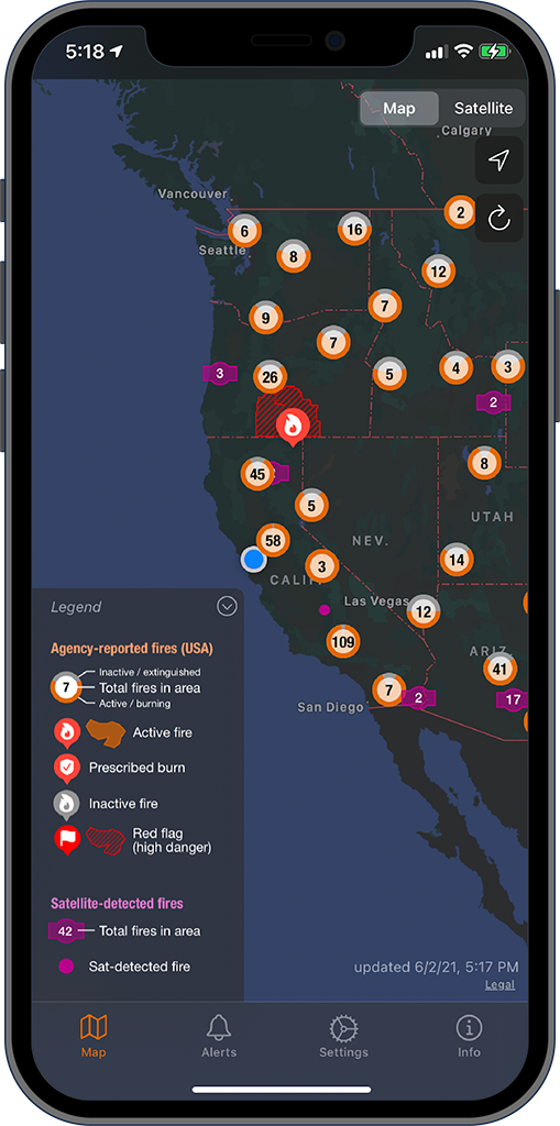
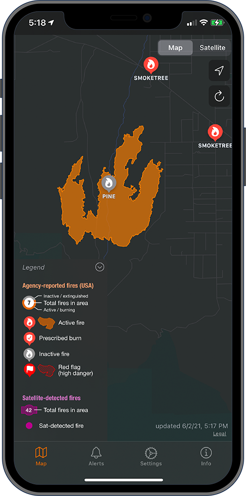
See wildfire perimeters
Get access to Firespot’s up-to-date database of fire locations and perimeters. We aggregate data from multiple authoritative sources and present it all in one app.
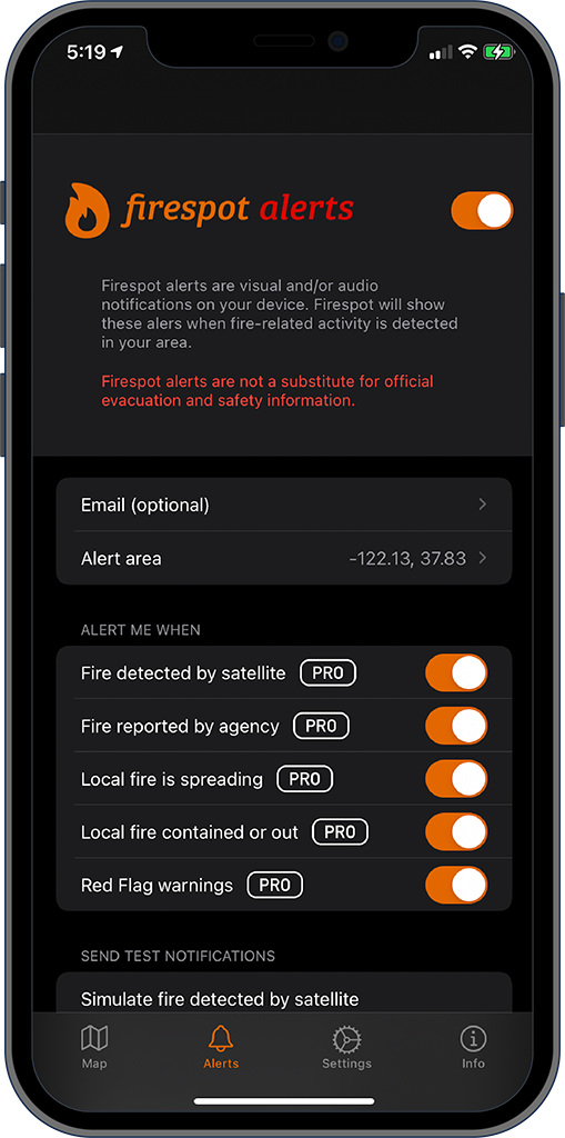
Firespot alerts
Subscribe to Firespot’s revolutionary alerts engine to get notified when new local fires start, spread, or get knocked down. Set your location and alert radius, and let our servers do the rest.
Total fire awareness
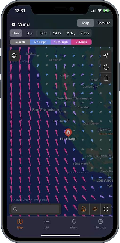
Firespot’s data overlays show you the big picture. See up-to-date wind, soil moisture, water vapor and vegetation data to get an idea of where fires are likely to spread.
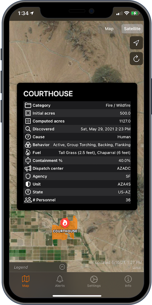
Geek out on data
Who’s handling that fire?
What fuel is burning?
When did it start?
Why did it happen?
Where is the fire?
Firespot gives you more than just a dot on a map.
It gives you the Who, What, When, Why and Where.
Red flag warnings
In addition to active fires, Firespot shows you all the current red flag warnings issued by the National Weather Service. This tells you where fires are likely to start, and gives you a heads up when you need to exercise extreme caution.

Great data deserves a great app.
For years government agencies around the world have maintained detailed, high-quality databases of fire information. Until now, this information was difficult to access. Firespot aggregates multiple sources of data and puts it all in the palm of your hand.
| Download | App Store |
| Contact | tcr.firespot@raynersw.com |
| Follow us | @RaynerSoftware |
| Have a promo code? |
|
| Terms of use Privacy policy | |

